In short
A useful river report gives you four things: flow in cubic feet per second, water clarity, water temperature, and what the weather has done for the past week. Anything else is commentary. Take the insect and depth information from the report, then get the current flow and temperature yourself before you commit to a drive.
On this page
The anatomy of a report
A McCloud River fly fishing report and an Upper Sacramento report describe two rivers that respond to the same week of weather in opposite ways, so they are not interchangeable. What they share is a structure. Strip a well written river report down and you find the same skeleton every time: a number for flow, a description of clarity, a water temperature, a note on what has hatched, and a sentence about depth and weight. The rest is atmosphere.
Of those, the insect note and the depth note travel well. Insects run on a seasonal calendar that shifts by days, not by hours, so a report saying that caddis came off at seven in the evening last Thursday is still worth reading on Sunday. Flow, clarity and temperature travel badly, because on a freestone river like the Upper Sacramento all three can change between the report and your arrival.
Flow, and what a number in cubic feet per second means
Flow, or discharge, is the volume of water passing a fixed point each second, published as cubic feet per second. It is the most useful single number in the whole exercise, and it is measured at public gauging stations rather than estimated.
What matters is not the absolute figure but where it sits relative to that river's normal range and which way it is moving. Three questions cover it:
- Is it high, normal or low for the time of year? The same figure means opposite things in April and in September.
- Is it rising or falling? A falling river settling after a rise is often excellent. A rising river usually is not.
- How fast is it changing? A slow drop over five days concentrates fish and clears the water. A sudden drop after a dam adjustment unsettles them.
The Upper Sacramento responds to weather within hours because it has no significant storage above the trout water. The Lower McCloud combines a controlled release from McCloud Dam with an enormous, steady contribution from cold springs, so its flow moves far less. That difference is set out in McCloud River water flow and clarity.
Clarity, and how to judge it from a photograph
Clarity is usually described rather than measured, and the descriptions are worth translating.
| Description | Roughly what you can see | What it changes |
|---|---|---|
| Gin clear | The bottom at four feet and beyond | Longer leaders, finer tippet, smaller flies, careful approach |
| Good colour | Two to three feet | Ideal. Fish are confident, standard rigs work |
| Off colour | A foot or so | Bigger and darker flies, shorter drifts, fish the edges |
| Chocolate | Inches | Go somewhere else, or fish a tributary mouth |
A photograph in a report tells you more than the adjective does. Look at a submerged rock: if you can make out its texture, the river has good colour. If you can see only a shape, it is off colour.
Water temperature
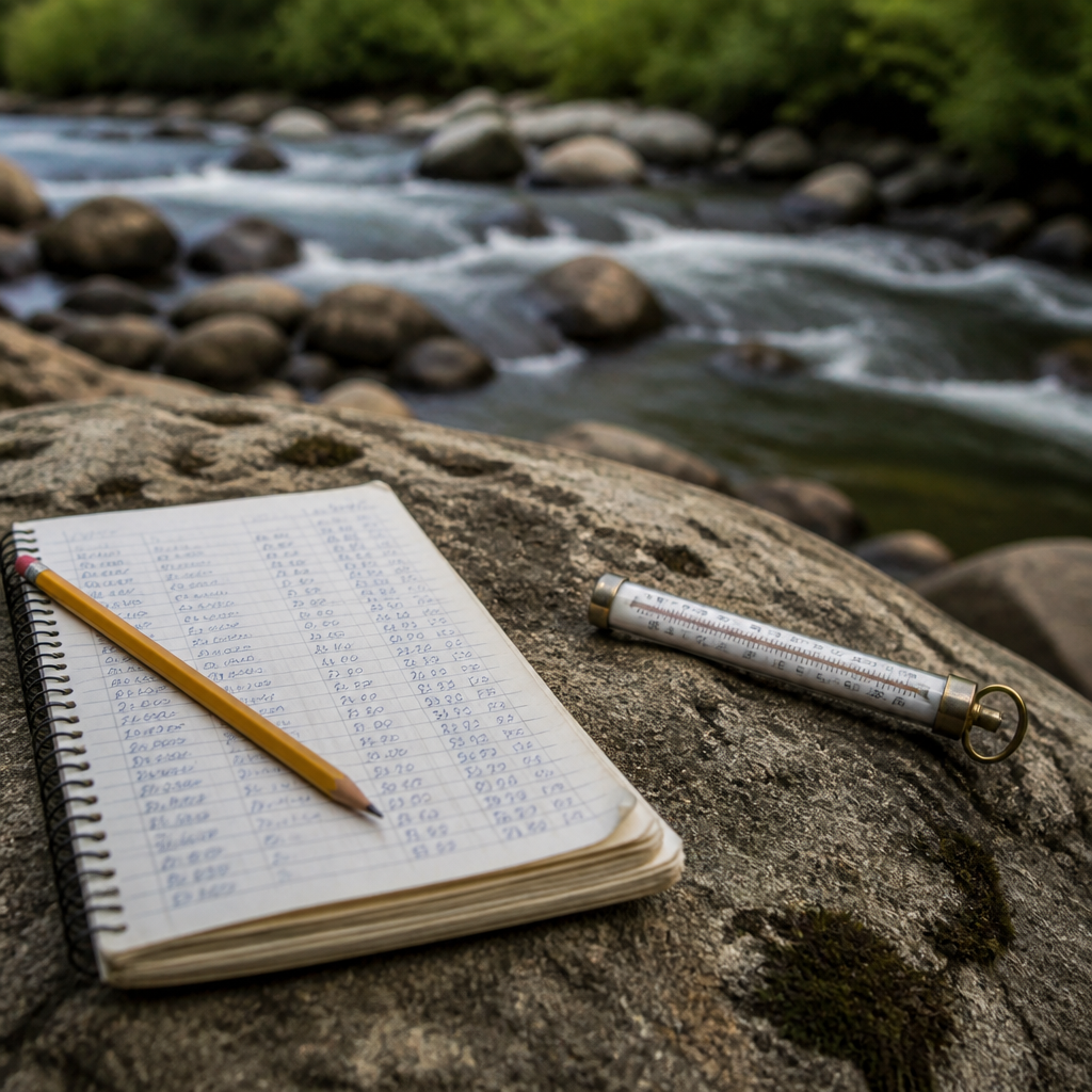
Water temperature decides whether trout feed at all, and it is the one number you should never take on trust. A stream thermometer costs very little and settles the argument in ninety seconds. Rainbow trout feed most actively in a band roughly between 12 and 18 degrees Celsius, which is about 54 to 64 Fahrenheit, become progressively stressed above about 20 degrees Celsius, or 68 Fahrenheit, and should be left alone above that. The detail, and what it means for summer fishing on the Sacramento, is on the page about summer water temperature and trout stress.
The week before
Two rivers at identical flows can fish completely differently depending on how they arrived there. What you want to know is the trend and the weather that produced it:
- A hot week in August pushes the Sacramento canyon temperature up and, on the McCloud, can send glacial silt down Mud Creek and colour the river.
- A warm rain in spring melts snow and raises the Sacramento fast. Cold rain does much less.
- Five days of stable weather after any disturbance is generally the best news in a report.
Checking conditions today
If what you want is Upper Sacramento River fishing conditions today rather than a summary of last Thursday, the current numbers are public and free. Flow and, at many stations, water temperature are measured continuously by the United States Geological Survey at gauging stations on both rivers, and California's own water data network publishes reservoir and river data for the state. Weather forecasts for Mount Shasta City, Dunsmuir and the town of McCloud differ from one another by enough to matter, because they sit at different elevations. Fire and smoke conditions in late summer are published separately and can decide a trip on their own.
Look up the gauge nearest the reach you intend to fish rather than the river as a whole. On a river 38 miles long with tributaries entering all the way down, the figure at the top and the figure at the bottom are two different rivers.
How quickly a report goes stale
As a rough guide, on the Upper Sacramento a report is fully reliable for about two days in settled weather and for about two hours during a storm. On the Lower McCloud, where the water is buffered by springs and a dam, a report holds up for a week unless the weather has been hot enough to move silt.
That difference is the reason this section is organised by season rather than by date. The pages on the early season, drought years and autumn describe patterns that repeat, which is the part of a report worth keeping.